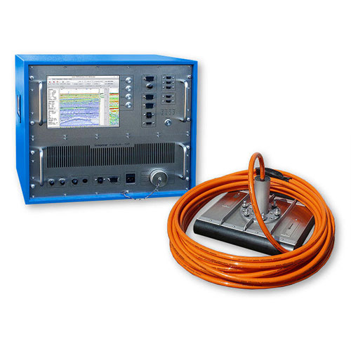
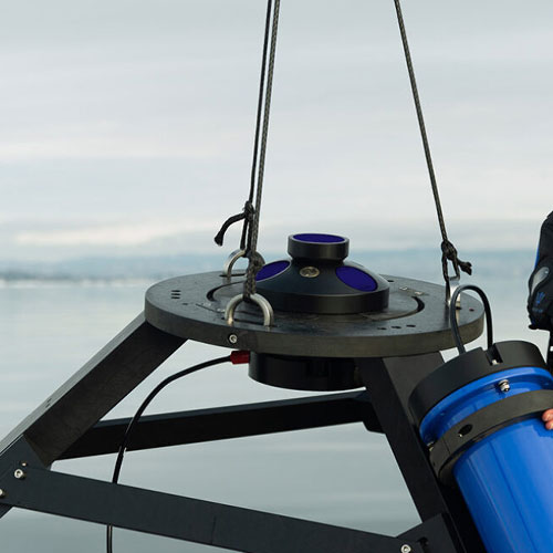
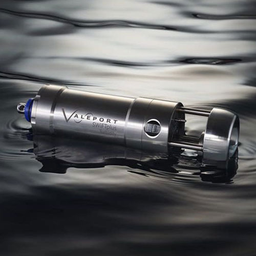
BV employs its own or leased equipment to execute projects. Depending on project objectives, we utilize a broad selection of engineering tools, such as single-beam and multi-beam echosounders, side scan sonar, SVP, CTD, tide gauges, ADCP, magnetometers, gravimeters, and sub-bottom profilers. Our fully equipped service center handles the repair, calibration, and maintenance of hydrographic instruments, vessel navigation systems, and ROVs. The procurement department provides necessary equipment for offshore, port, and maritime operations, hydrography, and surveying. Technical purchasing advice, marketing plan presentations, 24-hour order follow-ups, customer relationship management, and after-sales support are all integral to our service. We aim to maintain continuous and strong communication with our clients and partners within our areas of expertise.

Single and Multi EchoSounders
Bathymetry and depth finding are carried out in river waters, dams, lakes and seas by the echo sounders. The number of frequencies and depth finding accuracy are determined by the client based on the project definition. Echo sounders by different accuracies are provided in fixed and portable units with various dimensions.
Side Scan Sonar system
Two-dimensional scanning of the seabed is performed by this device. There are various models and forms of SSS, which are categorized according to their resolution and scanning accuracy. Winch and A-frames are used to launch and recover the towfish. On the river, the towfish can be fixed on the vessel hull.
SVP
SVP
The sound velocity is measured at different depths of water using this device. The proper function of sonar systems that use sonar transmissions to collect data depends on using the correct sound speed in the waters of the operation site.

Tide Gauge
Tide Gauge
Tidal measurement and determining its average value in specific time intervals to apply the necessary modifications to the data received from other sensors whose output changes with the tides, is done by the tide gauge.
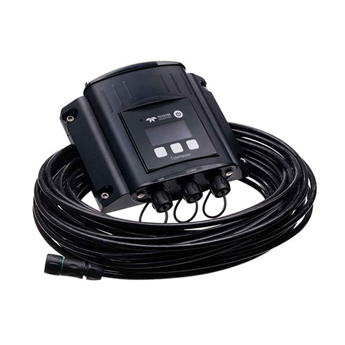
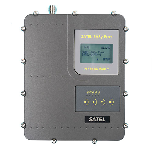
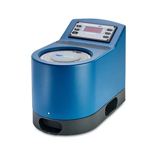
Manual and digital tide gauges with internal memory can be named as the variety of these devices. Long and short range radios are used to send data and support this device.
Acoustic Doppler Current Profiler
ADCPs are instruments that measure water velocity by using underwater acoustic technology. In a similar way to sonars, ADCPs transmit acoustic signals that propagate through the water column, away from the instrument. These signals reflect off particles in the water, producing echoes that are detected back at the ADCP.
CTD
CTD
CTD stands for conductivity, temperature, and depth. A CTD instrument is an oceanography sonde (French for probe) used to measure the electrical conductivity, temperature, and pressure of seawater. The pressure is closely related to depth. Conductivity is used to determine salinity.
Magnetometer
Magnetometer
A magnetometer is a scientific instrument used to measure magnetic field strength. Under the sea, marine geophysicists, ocean engineers and nautical archeologists use marine magnetometers to detect variations in the total magnetic field of the underlying seafloor.
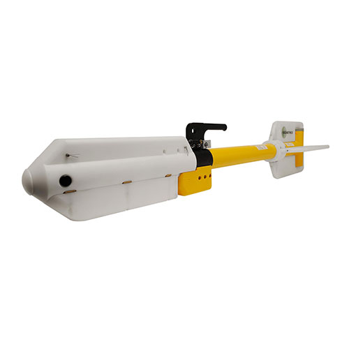
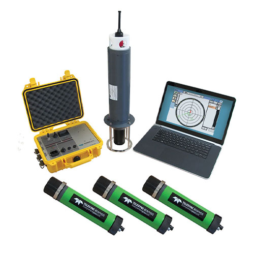
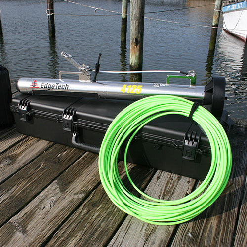
Towing fish of the system collects the required information and sends it to the main unit located on the survey vessel.
Sub-Bottom Profiler
Sub-Bottom Profiler
This device is used to determine the material and depth of the layers under the seabed. Secondary data processing and high sensitivity to environmental noise levels are the features of this system.
USBL
USBL
Subsea positioning is done by a USBL system. It works based on ultra-short base line definition. Local measurements are proportionally converted into the location of the fixed and moving subsea structures using precise computation. The accuracy of this positioning is about decimeter.
MRU
MRU
These sensors are used to measure 3dimensional movements of the vessel as Pitch, Roll and Heave. By applying these changes to the received data of marine and hydrographic sensors, the deviation measurements resulting in different directions can be compensated. These sensors can measure the movement in one or more dimensions.
Radio Telemetry
Radio Telemetry
In offshore operations, telemetry radios are always used to transmit sensor data and videos. These radios function at standard operating frequencies band and multi-channel data transmission. These radios are utilized for offshore construction projects, hydrography, diving, dredging and ROV operations.
Gyro compass
Gyro compass
A Gyro compass is a form of gyroscope, used widely on ships to find the true north. Gyro compass has become one indispensable instrument in vessels for its ability to detect the direction. Heading data is used to navigate the construction barges and vessels during the offshore projects and hydrographic surveys.